The legendary NY designer, Massimo Vignelli, created a timeless information structure for the NYC subway
system in 1966. The typographic legibility and iconography are still used today. This original station digram
has become a template for many other cities around the world.
It is fitting that a New York designer who studied under the iconic Massimo Vignelli would be commissioned to
continue the NYC public wayfinding with WalkNYC. Environmental sign design can accompany urban planning
projects of any scale and orient the public with a good understanding of the circulation paths and key sights.
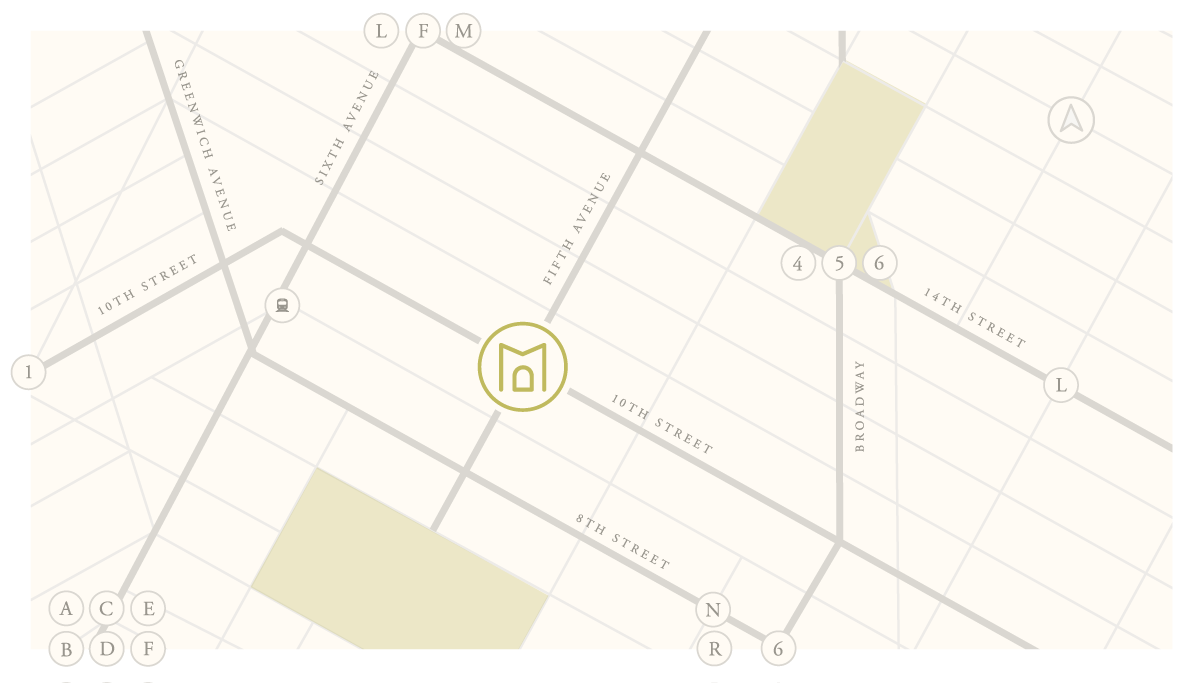
Maps can also be used to demonstrate key neighborhood features surrounding a new development. A simplified
graphic can allow clear highlighting of only the most notable spaces and can add uniformity to web design.
Potential owners moving into a new city or town may see increased value in their purchase if the location
provides the necessary amenities. A clean infographic included in printed real estate marketing will swiftly
demonstrate this value.
Local designer, Cayla Ferari designed a series of simplified transit maps from cities around the globe. The
posters and merchandise help people relate to their neighborhoods or cities that they feel connected to.
Our brand design for this luxury residential tower in West Chelsea, NY included a map of the local
neighborhood which highlighted art, dining and culture and was included in the high-end real estate marketing
package.
For brands that work in hyper-local markets, like the young Long Island real estate team Perrotta Sadis, maps
can often be a helpful way to articulate your knowledge of the neighborhood. This map of Huntington, Northport
and Cold Spring Harbor, NY can adapt to show locations of offices, upcoming events, local business and homes
sold.